
The Water Road
Ο Δρόμος του Νερού
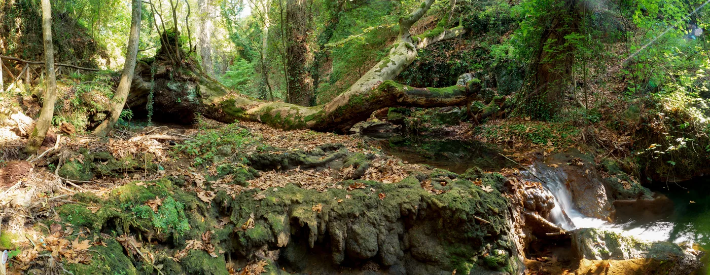
What’s waiting along the way
Follow the historic water-supply route past stone bridges towards Palia Kavala.
Physical effort
A longer outing: the two published sections total 10.5 km, without the return.
Terrain & technical considerations
Dirt road, narrow path and old stone paving. Narrower sections and wet paving can need extra care. Current passability is not confirmed.
Before you go
Getting there & parking
Starts at Agios Konstantinos chapel, at the end of 13is Septemvriou Street. The pin shows Kavala city, not the chapel. Parking is unconfirmed.
Your way back
Arrange a return from Palia Kavala. Retracing the full route would be about 21 km; it is not included here.
Shade
The description mentions pines and dense streamside vegetation; continuous shade is not confirmed.
Drinking water
The source mentions a fountain near the first bridge. Present flow and potability are unverified; carry your own water.
Season & preparation
General seasonal guidance: prepare for summer heat and sun, mud after rain, and possible winter snow or ice in mountain areas. Check the forecast and local restrictions before departure. Bring suitable footwear, water, sun protection and a map.
This is not today’s forecast or confirmation that the trail is open.
Sources & confidence
The sources below were reviewed on 14 September 2026. No field inspection was carried out. Current passability has not been verified.
- Visit Kavala · Water Road, with EOS Kavala directions
- Map-location source
- GNTO · general hiking preparation
Difficulty labels follow the sources; “Moderate” includes “easy to moderate”. Times apply to the described itinerary and do not automatically include stops or additional return travel.