
Agios Germanos to Laimos
Άγιος Γερμανός – Λαιμός
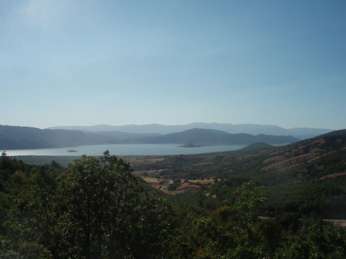
This is the 3.1 km topoguide variant, not the separate 5.1 km village circuit.
What’s waiting along the way
Link two Prespa villages on the shorter, mapped topoguide route.
Physical effort
Published ascent is 34 m and descent 151 m in this direction.
Terrain & technical considerations
Mostly dirt road, with paved-road sections. Watch for vehicles on road sections.
Before you go
Getting there & parking
Starts in Agios Germanos. Parking and current transport timetables are not confirmed.
Your way back
One-way figures. Walking back doubles the distance to about 6.2 km and includes more climbing.
Shade
Shade coverage is not documented; plan for exposed sections.
Drinking water
Reliable drinking-water availability is not confirmed. Carry your own supply.
Season & preparation
General seasonal guidance: prepare for summer heat and sun, mud after rain, and possible winter snow or ice in mountain areas. Check the forecast and local restrictions before departure. Bring suitable footwear, water, sun protection and a map.
This is not today’s forecast or confirmation that the trail is open.
Sources & confidence
The sources below were reviewed on 14 September 2026. No field inspection was carried out. Current passability has not been verified.
- AnaDigit / topoguide · Prespa trail inventory
- AnaDigit / topoguide · route map & statistics
- Published route statistics (XML)
- Map-location source
- GNTO · general hiking preparation
Difficulty labels follow the sources; “Moderate” includes “easy to moderate”. Times apply to the described itinerary and do not automatically include stops or additional return travel.